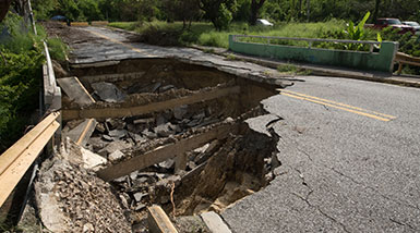
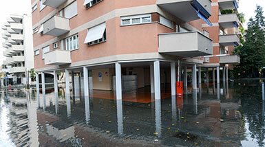
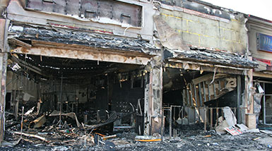
MKA International, Inc. (MKA) strives to remain current utilizing the latest technology available in the construction industry. We achieve this by hiring the best in personnel, using top of the line equipment, working safely and employing effective tools and technology.
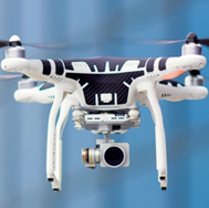
Unmanned Aerial Vehicle
MKA International, Inc. (MKA) is FAA certified and provides UAV services capturing unique, high-level overviews of properties and construction projects. Aerial drone images help convey the complete overview of projects including points not easily accessible with real-time data and provide maneuverability in delicate spaces.
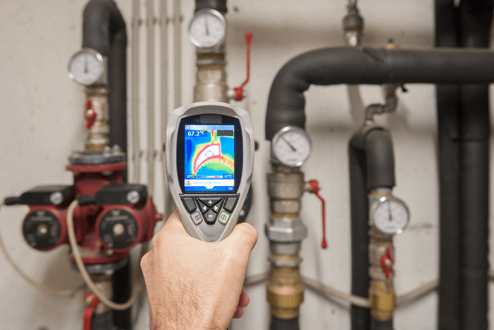
Infrared Imaging
MKA International, Inc. (MKA) utilizes Infrared Thermography technology using documented practices and procedures to identify anomalies in hidden areas. This allows for a more cost effective intrusion inspection. All of our Thermographers are trained and certified to Level I standards which are defined by “American Society for Non-Destructive Testing” (ASNT) guidelines. We provide infrared services for property loss, construction defect and construction dispute assignments.
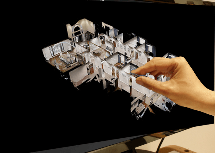
3D Scan Technology
MKA International, Inc. (MKA) utilizes 3D scans to capture real-time documentation and site-progress to provide our clients the data they need to make informed decisions. This pathbreaking technology is utilized to recreate any site and procure a virtual walkthrough capturing complete and accurate coverage obtaining the necessary dimensions of the most intricate environments. The images are a valuable tool for all of professionals in the field. Providing fast and flexible data collection, 3D scans deliver building information modeling (BIM) and are suitable for verifying construction materials, measuring quantities, analyzing site capacities and assists with architectural planning and design development.
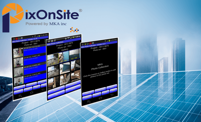
PIXOnSite
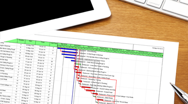
In order to create more efficient and effective means of procuring information and data, MKA International, Inc. (MKA) has developed a real time, end-to-end photo documentation system that enables users to photograph, annotate and provide other information that can be directly uploaded to a secure cloud based site for use in reports, estimating and site monitoring. The reports, spreadsheets or any other form or template can be customized to the user’s requirements.